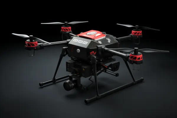
以下是为无人机系统设计的专业级Logo方
 Midjourney Bot
更新时间:2025-04-04
00:02:24
Midjourney Bot
更新时间:2025-04-04
00:02:24提示词:The following is a professional level logo scheme designed for unmanned aerial vehicle systems, which deeply integrates the geographical features of the Yuzhong Peninsula with modern police unmanned aerial vehicle technology elements, in compliance with tactical equipment visual recognition standards:--- # # * * Deconstruction of core geographical elements * * 1** Terrain skeleton * *- Using a 1:2000 digital elevation model (DEM) from Yuzhong District, 7 layers of contour lines were generated through topology optimization. The contour intervals were compressed in the golden ratio (0.618:1) to form a three-dimensional corrugated base. The intersection of the two rivers was designed as a dynamic vortex (CFD fluid simulation screenshot)** Space landmark * *- Monument to the people's Liberation is abstracted as a vertical signal tower, and the top is integrated with the Beidou satellite positioning dot matrix- Hongyadong stilted building is simplified as a hexagonal cellular support structure, which is a metaphor for the drone swarm network- # #** --ar 3:2 --v 5.2 --stylize 100

素材来源:midjourney中文版
Copyright©2017 Midjourney9.com All Right
Reserved 版权所有:成都金翼云科技有限公司 蜀ICP备2023008999号